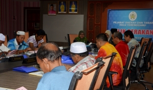
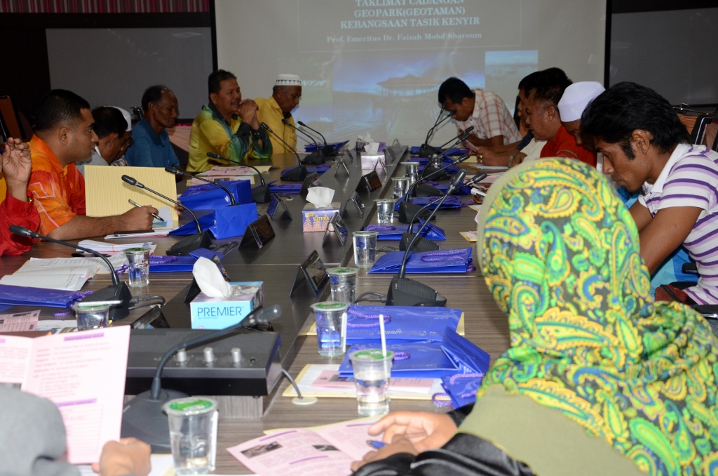
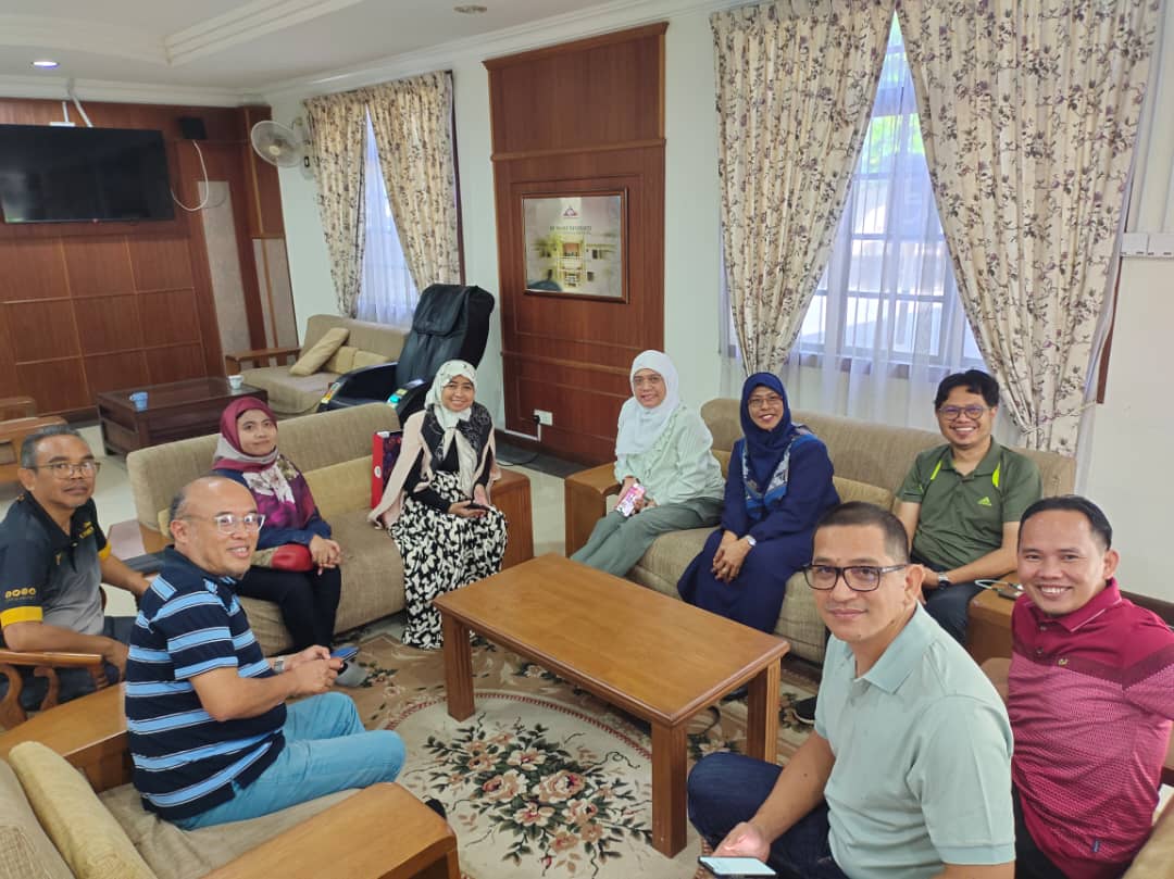
The Programme for 3 hours on a mission description “Kenyir Geopark” with Community General villages around Kenyir Lake (Phase 1) was conducted by the Research Programme of the Lakeshore Community, Centre Socio-Economic Development (CSD) and Kenyir Research Institute (IPK) in collaboration with the Hulu Terengganu District Office .
It was held on 10 April 2014 in the operations room, Hulu Terengganu District Office. The main purpose of this programme is to explain the mission “Kenyir Geopark” involving Districts Chief, the Chairman, Deputy Chairman and JKKK Secretary for each village and Village Heads to the villages around Kenyir Lake. The programme was attended by 13 researchers and staff UMT, representatives of Hulu Terengganu District Officer and local leaders. Session implementation executed by Dr Roslina Ismail, the Research Programme of the Lakeshore Community and director of IPK, Prof. Emeritus Dr. Faizah binti Mohd Sharoum.
There are several goals outlined in this programme. Among them is to disseminate information relating to the establishment of a Geopark of the lake to the agency and local leaders. Another objective is to obtain information on the history of Kenyir Community, profile of the population and socio-economic development in the area of Kenyir Lake community for research purposes. As a result, it will create a closer relationship between citizens of UMT particularly IPK staff and researchers with the local community and the agencies responsible for the development of Kenyir Geopark. Clearly, this programme focuses on the description of the mission briefing Kenyir Geopark to the community leaders on the establishment of a Kenyir Geopark and get cooperation from them for phase 2 of the programme will be implemented in the local community soon. In short, the implementation of this programme requires awareness of the surrounding community arised because it is a first step in improving the community through the establishment of a Kenyir Geopark.
